January 29, 2016
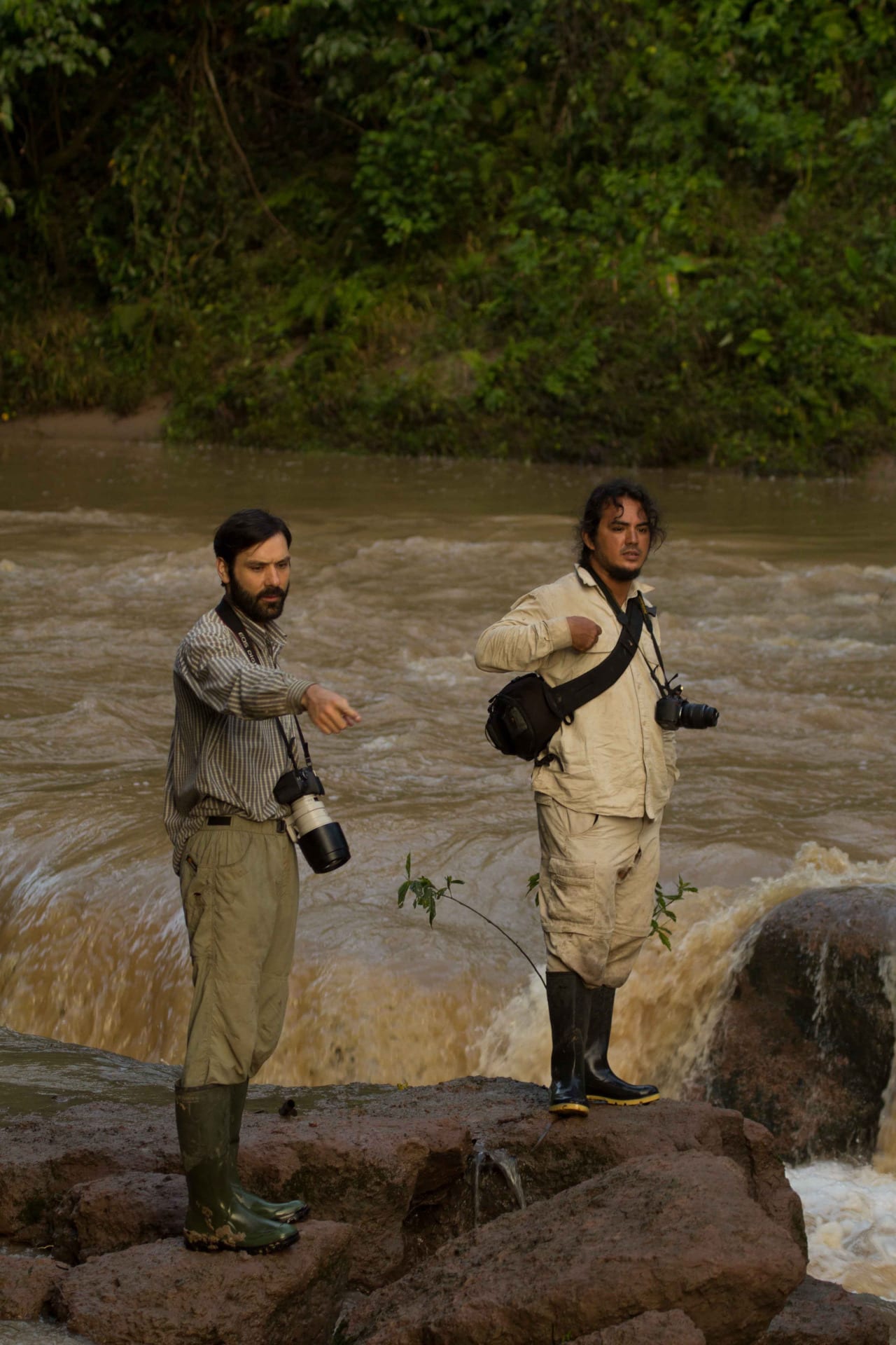
Peruvian biologists Juan C. Chaparro, from the Natural History Museum of Cusco, and Roberto Gutiérrez from the Natural History Museum of Ayacucho, and myself, will be bringing our luggage, gear, and half the provisions to the Ashaninka village of Marontuari.
January 30, 2016
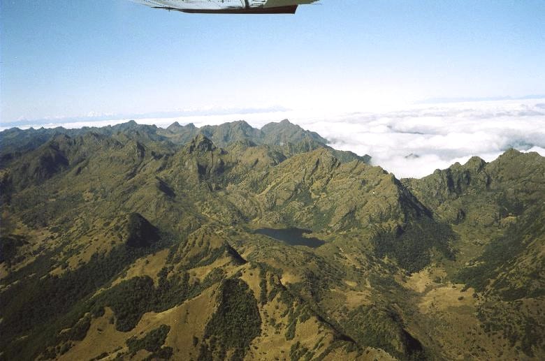
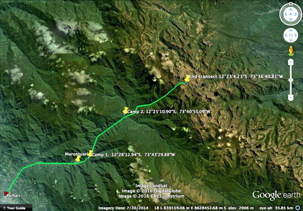
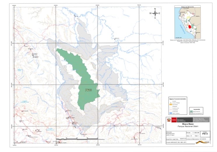
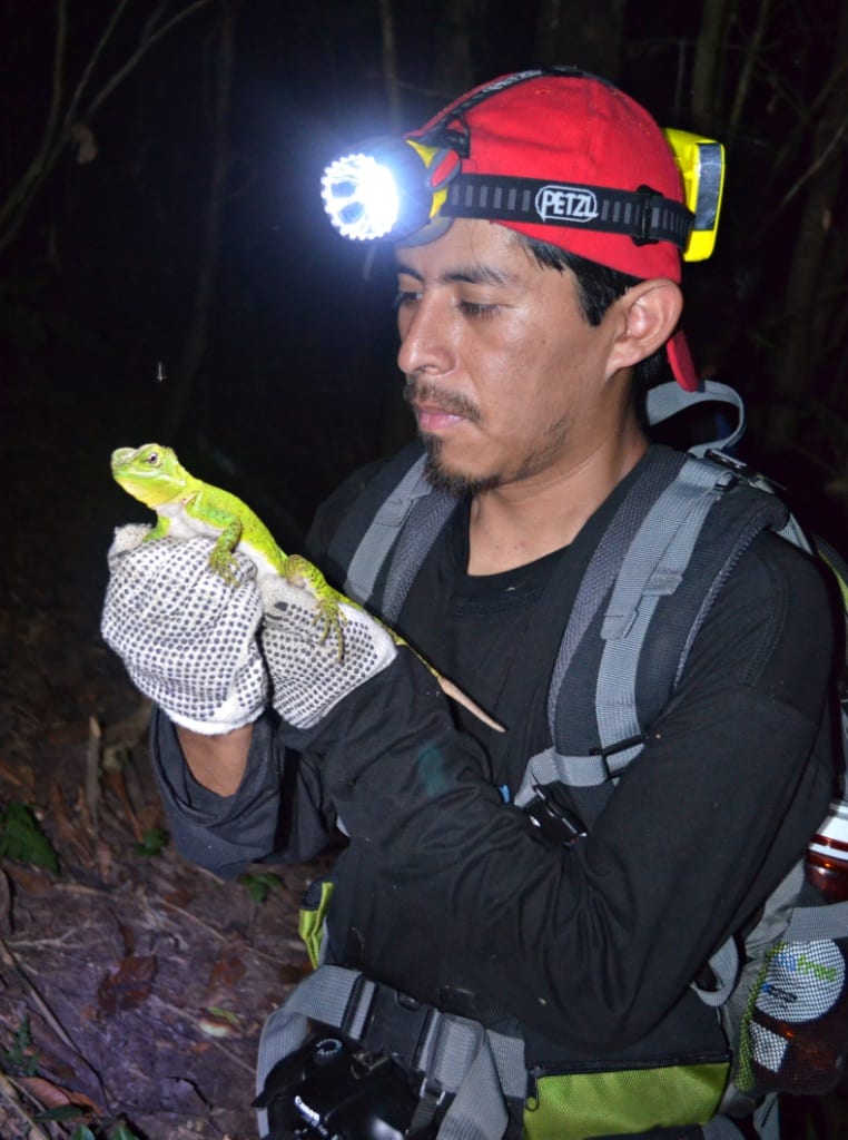
Tomorrow morning, with help of five Ashaninka men and a cook we will set a first campsite at ca. 1200 m and will start opening a track across the dense forest of the Pichari River. We will set a second campsite at ca. 1800m, and a third one at 2200-2500 m. We won’t have any internet or cellphone network for a while.
January 31, 2016
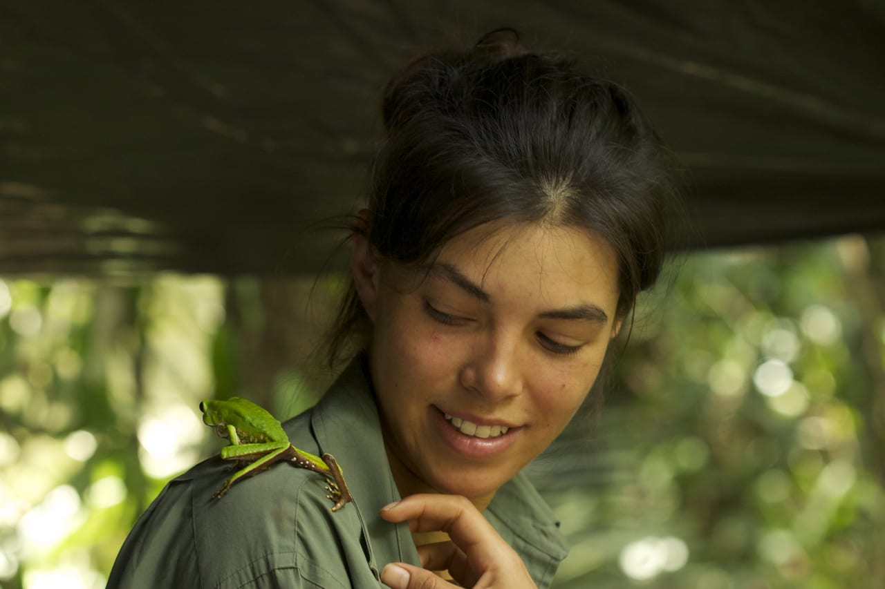
Mexican artist Maira Duarte will fly to Lima to join Giuseppe Gagliardi, Peruvian biologist in charge of biodiversity inventories at IIAP (Peruvian Amazon Research Institute). Together they will follow our steps through Ayacucho, Pichari, and Marontuari, and hopefully join us somewhere along the Pichari River on February 1-2.
Maira Duarte will be filming the trip and will direct a documentary about the expedition. She will also bring a satellite communicator to continue blogging.
February 3, 2016
Somewhere along the Pichari river, I will start sending text and pictures again to Kathleen Bodenlos, Director of Marketing at Carnegie Museum of Natural History—the person who is making blogging possible.
February 7, 2016
We plan to return to Marontuari and join the Ashaninka people for the celebration of their village’s anniversary.
February 8, 2016
The rest of the team will meet at Pichari or Marontuari, including Victor Jassmani Vargas, biologist from Pro Fauna Silvestre of Ayacucho, Dr. Santiago Castroviejo-Fisher, from Pontifícia Universidade Católica do Rio Grande do Sul (Brazil), and Andrew Isaacson, independent journalist working for the soon to be launched BioGraphic project of California Academy of Sciences.
February 9-12, 2016
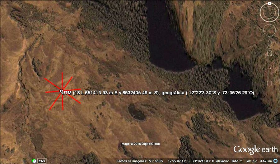
Thanks to CODEVRAEM, the ministerial commission for pacification and development of VRAEM, we will most likely fly in a helicopter to the highest and still unexplored areas of Vilcabamba at 4,100 m. There we will spend 10-12 days surveying grasslands and elfin forests of the eastern and western versants of Vilcabamba between 3,000 and 4,000 m elevation, and will open a track down to a short-term campsite at 2,500 m.
The schedule is of course highly tentative; many things can happen along the way. If we don’t get a helicopter (many factors can prevent this) we’ll still stick to the initial plan of climbing up Vilcabamba by opening a track and hiking all the way up.
We will make our best efforts to stay connected. Wish us luck.
Thank you for reading.
José Padial
Blog written by Dr. José M. Padial, Assistant Curator of Amphibians and Reptiles, Carnegie Museum of Natural History